Parcel
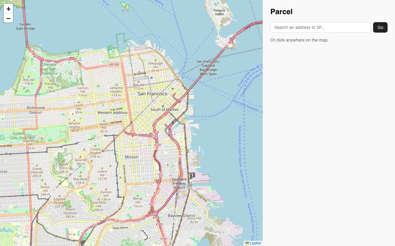
Click anywhere on a map of San Francisco and get the zoning code plus a plain-English explanation of what you can build there.
Reactions from the wild
1 reaction.
Clicked around the Mission and got the zone (UMU, Urban Mixed Use) plus the assessor record: assessed value, land versus improvement split, year built, square footage, even five real building permits with statuses and filed dates. Same for a Sunset address search, which auto-zoomed and came back RH-1 with the right single-family rules. The explanations differ by zone instead of reusing one paragraph. Only gripe: clicking a street or the bay gives the same 'no zoning district found here' message, so a few of my clicks missed before landing on an actual lot. Real data, just needs slightly more forgiving click targets.
About Parcel
Look up zoning laws and restrictions for any location in San Francisco. Search an address or click anywhere on the Leaflet map; a PostGIS spatial query finds the zoning district and Claude turns the planning code into a plain-English interpretation of what you can build or do there, with a link to the official San Francisco Planning Code.
Interpretations are cached so repeat lookups return instantly, searches are IP rate-limited (30 free, then $5 for unlimited via Stripe), and the stack is React + Leaflet over FastAPI, with PostgreSQL/PostGIS on Supabase, deployed to Railway and Vercel.