Nova Scotia Water Well Viewer
An interactive map of about 125,000 Nova Scotia water wells, coloured by type and filterable by the year each was completed.
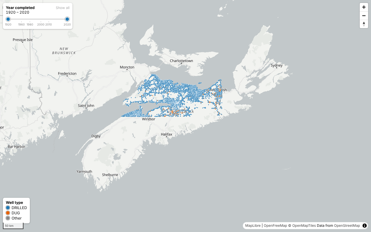
An interactive web map of about 125,000 water wells in Nova Scotia, built from the province's public well log database. Wells are coloured by type (drilled or dug) and can be filtered by the year they were completed. Clicking a well shows its details.
The app is a single static HTML page with no backend. It reads two data files straight from the web server: vector map tiles containing every well's location, ID, type and year, and a Parquet file with the full attributes, of which the page fetches only the small part it needs when a well is clicked.
The repo was built in a conversation with Claude Code, and the README records the prompts and the decisions made along the way.